
Google Maps covers 98 percent of the world's population
By MYBRANDBOOK

It is true that there is no competition to Google and the reason truly unknown on how and why. It drives monopoly in the world with 10 million miles of photographs of Street View imagery. Thanks to the efforts of Google.
Google is giving many a deeper look into its map-making process and it says it has captured images which has distance enough to circle the globe 400 times. Also, it says Google Earth has 36 million square miles of HD satellite images you can browse, and those images cover areas where 98 percent of the entire population lives. As CNET notes, this is the first time Google released figures revealing the scope of Maps, which is one of its most popular products.
Google also discussed the techniques it uses in order to capture as many map imagery as possible. As you may know, it uses Street View cars equipped with cameras that can take photos from various angles while they're driving. For areas where driving isn't possible, such as nature reserves and far-flung areas with no roads, it sends people equipped with Street View Trekker backpacks.
Further, Google explained that it uses a technique called photogrammetry to stitch several images together. In fact, the tech giant employs the same method to conjure up VR experiences, including the virtual tour of Versailles it created for HTC Vive and Oculus Rift users.


Legal Battle Over IT Act Intensifies Amid Musk’s India Plans
The outcome of the legal dispute between X Corp and the Indian government c...

Wipro inks 10-year deal with Phoenix Group's ReAssure UK worth
The agreement, executed through Wipro and its 100% subsidiary,...

Centre announces that DPDP Rules nearing Finalisation by April
The government seeks to refine the rules for robust data protection, ensuri...

Home Ministry cracks down on PoS agents in digital arrest scam
Digital arrest scams are a growing cybercrime where victims are coerced or ...


Hrithik Roshan to endorse RuPay as Brand Ambassador
RuPay is reportedly planning to feature Bollywood superstar Hrithik Rosha

India Today Group launches – AI Pop Stars
Staying true to our industry leadership position in using cutting-edge tech

TelioLabs ropes in Phaniraj V A as the Group CEO
TelioLabs has announced the onboarding of Phaniraj V A as its new Group CE

Wipro Appoints Amit Kumar as Managing Partner and Global Head
Wipro Limited (NYSE: WIT, BSE: 507685, NSE: WIPRO), a leading technology s


Alcatel-Lucent Enterprise Carrying a 100 year legacy ahead
A good amount of R&D works and global support services are operated out of

Cisco building a trusted and resilient future for the nation
Security is foundational to everything Cisco does and customers insist on e

MSI Announces the availability of RTX 50 series of laptops in
MSI, the innovative computing manufacturer in gaming, creator
 goes on sale today, starting at Rs 19,999")
Nothing Phone (3a) goes on sale today, starting at Rs 19,999
The phone was launched on March 4, featuring a 50MP main, ultra-wide, and t

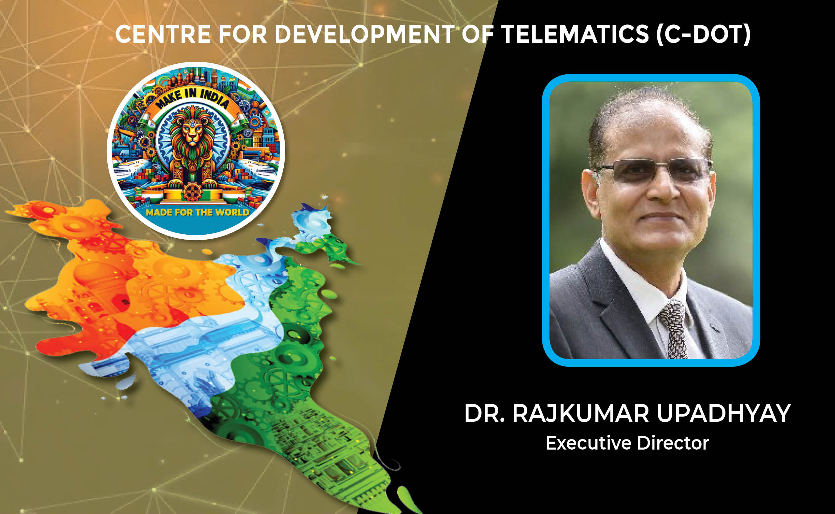
CENTRE FOR DEVELOPMENT OF TELEMATICS (C-DOT)
SAMSUNG INDIA ELECTRONICS LTD.
INFOSYS TECHNOLOGIES PVT. LTD.
SAMRIDDHI AUTOMATIONS PVT. LTD.


Icons Of India : Kumar Mangalam Birla
Aditya Birla Group chairman Kumar Mangalam Birla recently made a comeb...
Icons Of India : B.V.R. Subrahmanyam
A 1987 batch (Chhattisgarh cadre) Indian Administrative Service Office...
Icons Of India : MUKESH D. AMBANI
Mukesh Dhirubhai Ambani is an Indian businessman and the chairman and ...


STPI - Software Technology Parks of India
STPI promotes and facilitates the growth of the IT and ITES industry i...

DRDO - Defence Research and Development Organisation
DRDO responsible for the development of technology for use by the mili...
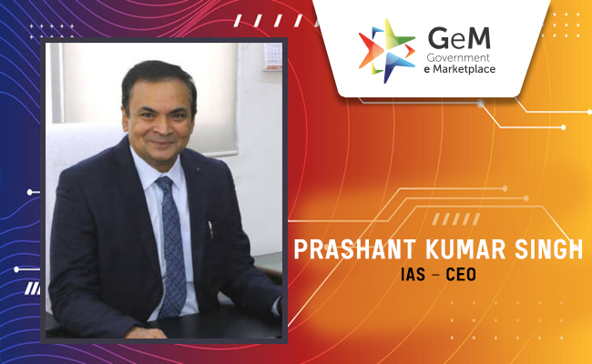
GeM - Government e Marketplace
GeM is to facilitate the procurement of goods and services by various ...


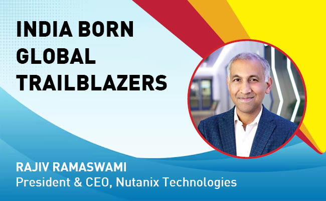
Indian Tech Talent Excelling The Tech World - Rajiv Ramaswami, President & CEO, Nutanix Technologies
Rajiv Ramaswami, President and CEO of Nutanix, brings over 30 years of...
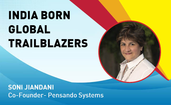
Indian Tech Talent Excelling The Tech World - Soni Jiandani, Co-Founder- Pensando Systems
Soni Jiandani, Co-Founder of Pensando Systems, is a tech visionary ren...

Indian Tech Talent Excelling The Tech World - NIKESH ARORA, Chairman CEO - Palo Alto Networks
Nikesh Arora, the Chairman and CEO of Palo Alto Networks, is steering ...


 of images belongs to the respective copyright holders